
Stephen Mather has been working in GIS, planning, and related fields since 1998, working for the last 7 years as the GIS Manager for Cleveland Metroparks. He has been interested in the application of computer vision to geospatial analyses since 2004, and has recently initiated the OpenDroneMap project — a project to bring together and extend a suite of open source computer vision software for use with UAS (drone) and street level images. He is also coauthor of the PostGIS Cookbook.
Stephen was interviewed for GeoHipster by Amy Smith at the recent FOSS4GNA conference in San Francisco, California.
Q: How have you been enjoying the conference so far?
A: It’s been consistently good! There were sometimes two or three sessions that I wanted to be in at a time, so I had to figure out if I could clone myself.
Q: Clone yourself?
A: Yeah, well it would make it so much easier (well, probably the easier thing is to watch the video afterwards).
Q: Let me know if you figure out the cloning thing.
A: Oh, I’ll share it. It’ll be on Github.
Q: Awesome. Have you been to this conference before?
A: I went to variants on FOSS4G in DC, Denver, Portland, and Seoul.
Q: Wow, what was Seoul like?
A: That was FOSS4G Korea. It was awesome. The hospitality was amazing, the conference was really interesting. It’s a beautiful city, and it was lots of fun.
Q: Do you speak Korean?
A: Not adequately, no. (*laughs*). Not at all.
Q: You presented at this year’s conference. How did it go?
A: It was really fun. It was similar to a presentation I gave at North Carolina GIS a couple of weeks ago. The slides were already there, but it never ends up being the same presentation. OpenDroneMap is what I presented on, which started off as a GeoHipster joke at first, but then started to become a thing! People are excited about it, and are trying it out with their drones.
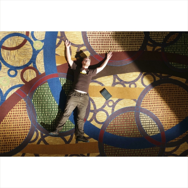
- Amy and Steve at FOSS4GNA 2015
Q: Who started the joke?
A: Well, there was the GeoHipster artisanal vertices, and at the time I was thinking about computer vision and drones and where all that’s going, and the absence of an open source project that addresses that. When I made my prediction about 2014, I said it would be all about the artisanal pixel. We’d go from these global satellite images to these handcrafted satellite images effectively. Then I starting thinking, actually, that’s not a bad idea. The best way to predict the future is to stake a claim in it and make it happen.
Q: I definitely want to pick your brain about that later on in the interview. But before we get there, I wanted to ask you how you got started in the geospatial world.
A: I came from the biology side of things. As an undergrad I actually took a lot of music classes, and a lot of biology classes. At the time, a lot of biologists weren’t really thinking spatially. Everything was about static statistics, which assumes some normality that doesn’t really exist. There were people starting to pull on that thread, but it was the minority. My interest in GIS and the geospatial was applying it to understanding biology and ecology better, and then I never really got out of that rabbit hole.
Q: But you haven’t really left music either. You make custom guitars.
A: Very, very slowly. I’ve been making them for 12 or 13 years. I’m on guitar #2.
Q: That’s a really cool hobby.
A: It’s one of those things that seems like it should be harder than it really is. A lot of people think, “Oh, I couldn’t do that”, but actually it’s not that hard of a hobby, and for a woodworking hobby, it doesn’t require many tools. If you want to become a furniture maker, you need to invest a lot in tools just to start. The total cost for guitar-making is much smaller with a minimum viable set of tools, which is kind of cool. In that way, it’s kind of like open source. The barrier to entry for open source is just a laptop, which you may already have.
Q: Totally. Let’s go back to drones for a minute. For those who might not be familiar with it, what is OpenDroneMap?
A: OpenDroneMap is an open source project for taking unreferenced images and turning them into geographic data. Maybe you have a balloon, kite, or drone, and you’ve taken some overlapping photos of an area, and you want to turn that into an orthophoto as a TIFF or PNG or a point cloud. It’s basically an extension of the photogrammetric techniques. Back in the day, you’d fly with a nice camera that was well parameterized so that you could correct for all of the optical distortion. You’d have a plane that was flying a known route with inertial navigation and GPS to help you know exactly where the plane is at any given point in time, and then you construct three-dimensional data from that, with contours and orthophotos. If you extend that concept, and instead of having two overlaps with lots of knowledge about your position, you have three overlaps, then you can write an equation that back-calculates where all of your camera positions are. In the process of doing that, you generate a point cloud of all of the features that match, which is something that you can derive other products from. You could create a mesh from that point cloud, then paint those photos back onto the mesh. Now you’ve got the geospatial information you need, and it can be turned into an orthophoto. When I first proposed the project, I thought, well we could license something like this, or we could start an open source project. I had a hunch there was enough existing computer vision code out there to get it 50, 60, or even 70% of the way there, just with the existing code. Fortunately my hunch was right. This leverages years of computer vision stuff done by people all over the world.
Q: It sounds like it was worthwhile to see what other people were doing, and build off of it.
A: Yeah, the stuff that people had been doing was absolutely brilliant, and allowed me to move whole hog and jump into the parts I was interested in.
Q: When I was in college I took some courses in remote sensing and did work with Synthetic Aperture Radar. I’m a little familiar with working with imagery. I’m guessing that working with imagery from drones is pretty different from working with aerial and satellite imagery. What are some of the differences you noticed in working with drone imagery versus something from an airplane or satellite?
A: A plane or a satellite gives you a nice synoptic view. There’s a usefulness, not in the specificity, but in the synopsis. If you think of the world as you view it from the ground, you can observe and make sense of the world; it’s what we’re most familiar with. There’s a wide gap between what’s happening in the plane or the satellite and the first-person view. Drones, balloons and kites fill that gap. Drones fill it particularly well because they can fill large areas. That’s what brought me into working with them altogether.
Q: Speaking of working, you work for the government. Could you tell us more about that?
A: I work for Cleveland Metroparks. We manage about 23,000 acres, which includes forests, wetlands, open areas for people to picnic, a zoo, lakefront parks, and really a whole range of interesting cultural and natural resources. We provide access for passive uses such as picnicking and hiking, and active uses such as events that draw people into those spaces. It’s a really cool park system with a lot of energy and a great history, as well as an amazing staff and a good vision for where we are now and where we’re going.
Q: How long have you worked there?
A: Seven years.
Q: I did some LinkedIn stalking, and I saw that you are a manager there. I’m sure that GIS manager can mean lots of different things depending on whether you’re with the government, a private company, or what industry you’re in. What are the things you think are common descriptors of GIS managers?
A: I’m relatively hands on. I’ll hack a code, I’ll work on data when I get the opportunity, but I also make sure to give a lot of freedom to the people that work with me, because they’re brilliant, and I don’t have to worry much.
Q: You sound like a great manager!
A: I’ve got great employees! There’s coordination and advocating for resources, ensuring that my employees have what they need. There’s also the aspect of ensuring that folks within the organization, as well as outside of the organization, understand what we do, so that they can value and take advantage of it. In addition to giving the degrees of freedom that people need in order to grow, we make sure they have educational opportunities and that they have challenges. There’s a lot of autonomy, which again links back to the open source community, where there’s a lot of autonomy.
Q: You’ve written a book on PostGIS. Can you tell us about the book and how it came about?
A: A couple years ago a publishing company discovered my blog and asked if I’d write an outline on PostGIS. I wrote them the outline, and they said “This is great, when can you start?” And I said, “I can’t, my daughter’s due in a few months, and there’s no way I can write a book.” They said, “Well, you could get a co-author”, and I said, “I can’t even write half a book!” Their response was “Well, you could do 60/40!”, and I said “Alright, but you’ve got to find the co-author”. They found Paolo Corti, who’s an excellent writer and knows his PostGIS stuff, and also knows the middleware level of that, and how to get it out to the web. That adds a nice element. Paolo and I started on that and we realized between the two of us, we weren’t going to get it all done. We found Bborie at the Boston code sprint, and Tom works with me and wrote a chapter. [Interviewer note: Bborie, Tom, and Paolo co-authored the book with Stephen.]
Q: Thanks so much! It’s been a lot of fun talking with you. I have one last question for you. Do you consider yourself a geohipster?
A: I’m a geohipster, absolutely! I’m the guy who predicted artisanal pixels. I don’t ride a fixie, but I do ride an e-bike. When I’m in sound health, I bicycle from 2-3 days a week, so I think I qualify.
Q: I think so, too.
Postscript: Steve gave me a signed copy of his book!Post Postscript: Steve and I geeked out for a while about Synthetic Aperture Radar. We’ll spare you the nitty gritty details, but tweet at us if you ever want to talk SAR. We’ll talk your ear off. :)
Comments
One response to “Stephen Mather: “The best way to predict the future is to stake a claim in it and make it happen””
[…] http://www.geohipster.com/2015/04/06/stephen-mather-the-best-way-to-predict-the-future-is-to-stake-a-cla… […]